No. 07 · Ocean liner
RMS Empress of Ireland
Lost 29 May 1914 · St Lawrence River · 40–45 m
A Canadian Pacific liner sank in the St Lawrence in 14 minutes after a collision in fog in 1914, with the loss of 1,012 lives.
- Flag
- United Kingdom / Canada (Canadian Pacific)
- Built
- Fairfield, Govan, 1905–1906
- Length
- about 174 m overall
- Aboard
- 1,477
- Lives lost
- 1,012 (some counts up to 1,015)
- Survived
- 465
- Position
- 48°37.5′ N, 68°24.5′ W
- Lies at
- 40–45 m, mud
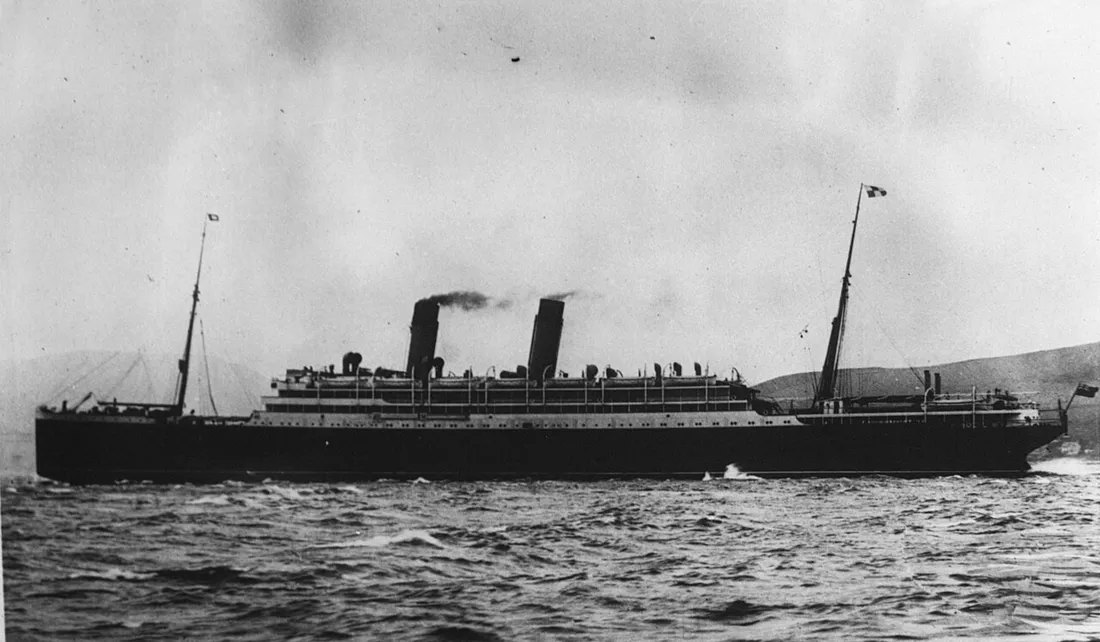
Empress of Ireland had made nearly a hundred crossings between Quebec and Liverpool. On her last, she was rammed in fog only hours out of port, and sank so quickly that most passengers never reached the deck.
Cause. In thick fog the Norwegian collier Storstad struck her amidships on the starboard side. She sank in about 14 minutes.
Plate · elevation, starboard side
The ship
Load waterline
Elevation, starboard side
The last hours
Ship and depth drawn to the same scale.
-
28 May 1914, 16:30
Out of Quebec
She sailed for Liverpool under Captain Henry Kendall with 1,477 people aboard, among them a large party from the Salvation Army.
-
29 May, about 01:30
The pilot leaves
The river pilot was dropped at Pointe-au-Père and the ship headed out into the widening estuary.
-
About 01:45
Fog
The lights of the collier Storstad were seen some miles off, then a fog bank hid the two ships from each other. Both changed course and speed.
-
About 01:55
Storstad strikes
The collier's bow cut deep into the liner's starboard side amidships. Water poured in so fast that she began to list within minutes.
-
About 02:00–02:05
No time
The list made most lifeboats impossible to launch, and many passengers asleep in their cabins could not get on deck in time.
-
About 02:10
She rolls over
She rolled onto her starboard side and sank, about 14 minutes after the collision. Storstad, two small steamers and local boats picked up the survivors.
- Port side, facing the surface
- Decks breaking away
- Bow
Survey plan, seen from above: she lies on her starboard side, so her port side faces the surface.M mud · 40–45 m
As found
Where she lies
She lies on her starboard side at a steep angle in about 40–45 m of cold, dark water with strong currents. The hull is largely intact but is slowly collapsing and filling with silt.
Found
Her position was known from the start. Salvage divers worked the wreck within weeks; sport divers rediscovered it in the 1960s.
Today
A National Historic Site of Canada and a protected heritage site under Quebec law. Objects from the ship are shown at the Site historique maritime de la Pointe-au-Père, Rimouski.