No. 08 · Ocean liner
RMS Lusitania
Lost 7 May 1915 · Celtic Sea · 90–93 m
A Cunard liner sunk by a German submarine off Ireland in 1915 with the loss of nearly 1,200 lives.
- Flag
- United Kingdom (Cunard Line)
- Built
- John Brown, Clydebank, 1904–1907
- Length
- about 240 m
- Aboard
- 1,960
- Lives lost
- about 1,197–1,201
- Survived
- about 761–767
- Position
- 51°24.8′ N, 8°32.9′ W
- Lies at
- 90–93 m, sand and gravel
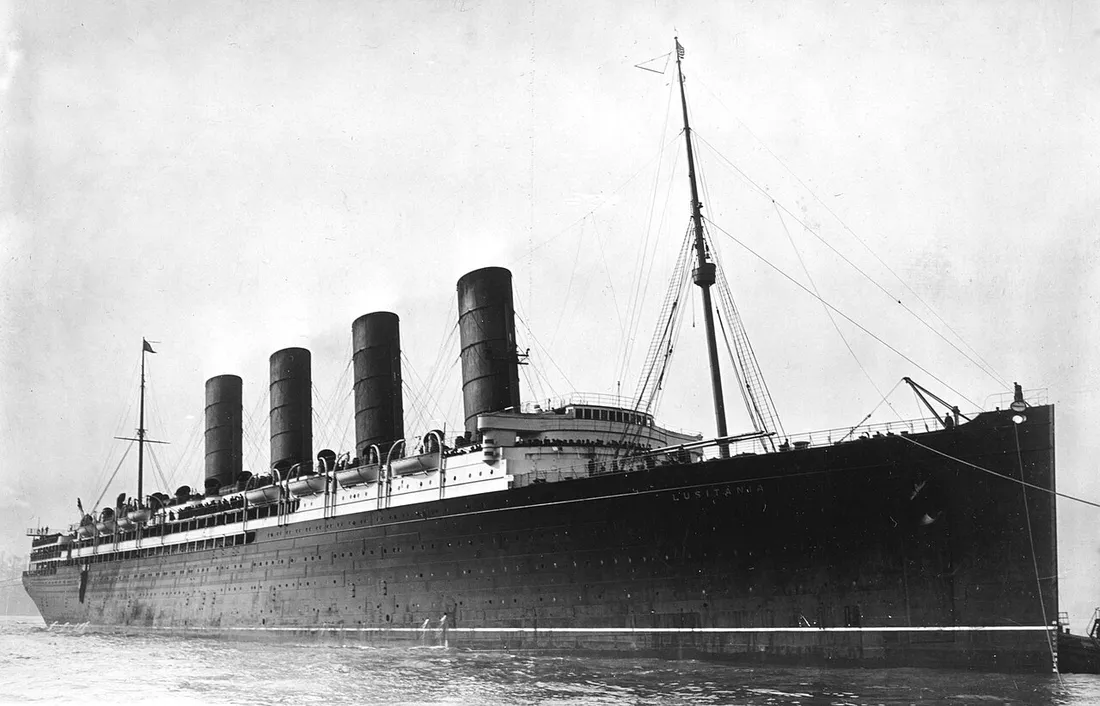
Lusitania had been one of the fastest liners in the world. In May 1915, with Germany declaring the waters around Britain a war zone, she sailed from New York for Liverpool with nearly two thousand people aboard.
Cause. She was torpedoed without warning by the submarine U-20. A second explosion followed inside the hull and she sank in about 18 minutes.
Plate · elevation, starboard side
The ship
Load waterline
Elevation, starboard side
The last hours
Ship drawn to scale; the water below is not.
-
1 May 1915, 12:20
Out of New York
Lusitania sailed from Pier 54 for Liverpool under Captain William Turner.
-
7 May, morning
Fog off Ireland
Approaching the Irish coast in fog, she slowed and sounded her horn. By late morning the fog had lifted.
-
About 14:10
The torpedo
U-20 under Walther Schwieger fired a single torpedo, which struck the starboard side behind the bridge. A second, larger explosion followed inside the ship.
-
14:10–14:25
The boats
She listed heavily to starboard and kept moving forward, which made the boats very hard to lower. Only six of her 48 boats got away successfully.
-
About 14:28
She goes down
About 18 minutes after the torpedo struck, she sank bow first, in sight of the Irish coast.
-
7–8 May
From Queenstown
Fishing boats, tugs and steamers from Queenstown and Kinsale brought survivors and the dead ashore through the evening and night.
At 90–93 m the pressure is about 10 times what it is at the surface.
- Fishing nets snagged on the hull
- Hull collapsing and flattening
- Bow
Survey plan, seen from above: she lies on her starboard side, so her port side faces the surface.S sand and gravel · 90–93 m
As found
Where she lies
She lies on her starboard side in about 90–93 m of water. Her hull has collapsed and flattened over the decades and is heavily draped in fishing nets.
Found
Located in 1935 by echo-sounding from a salvage ship, and reached by a diver in an armoured suit.
Today
Protected by an Irish Underwater Heritage Order since 1995; any dive needs a licence. A memorial stands in Cobh.